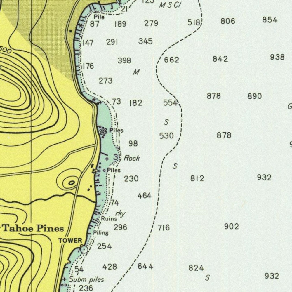
Dive Kaspian
Kaspian Day Use Area is almost immediately south of Hurricane Bay. There are two main areas: Kaspian North, which is basically the southern tip of Hurricane Bay (park at mile marker 68, up on the dirt), and Kaspian South, which is marked on the map below. Neither one is particularly exciting, although North is the better of the two (and has the more difficult entry/exit). They’re both open year round, and for both, you’ll be parking on the side of the road. Kaspian is the patch of land between your parking spot and the water. It’s quite small, but it does have bathrooms during the warmer months.
- Kaspian North. Due east, there’s a cool rocky ridge that snakes downhill a few hundred yards out. If you pass a large sunken tree, you’re on the right track. Entry/exit is in a cute little cove that almost looks like a swimming pool built into the side of the lake. Sort of. If you squint. It’s a bit rocky and slippery, but nothing crazy.
- Kaspian South. Smoothed-rock entry is slippery and stays really shallow for a while, so use caution. The rocky bottom gives way to sandy bottom as you go north and get deeper. There’s a picnic bench to set up on just 12 feet from the water and maybe 40 from your car, which is nice.
Fast facts
- Access: Water is about 50 feet from roadside parking, open year round (bathrooms close for off season)
- Surface swim: A few hundred feet for rocks in the shallows, well over a thousand feet for deeper area
- Parking: Free
- Crowds: Very low in winter to high in summer
- Dive experience level: Beginner to intermediate (mostly due to entry)
- Highlights: Rocky ridge at Kaspian north